
Part 2: The Site
Entry posted by Crofter
6501 views
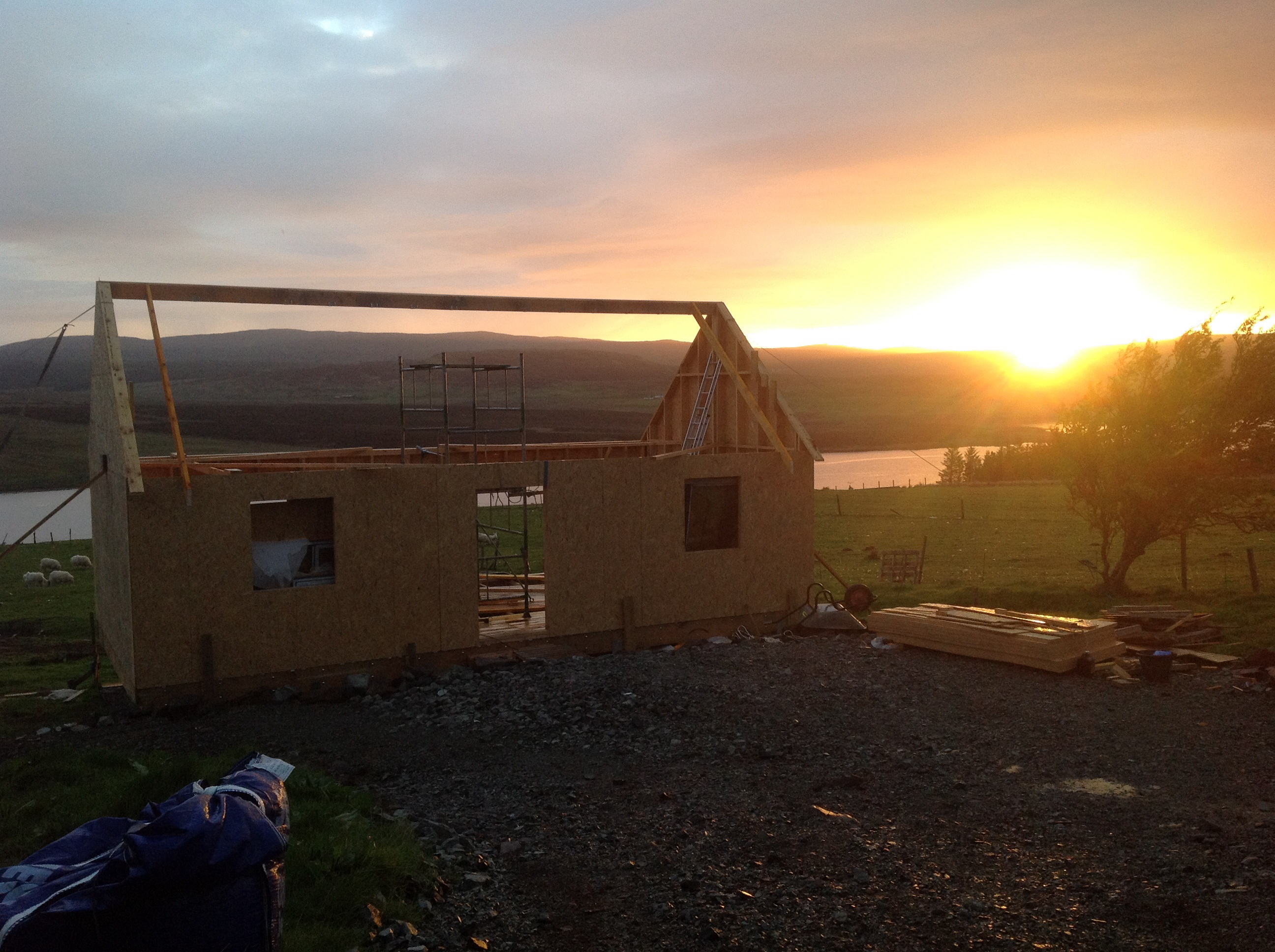
This is a retrospective look at how the site was when we first started the project.
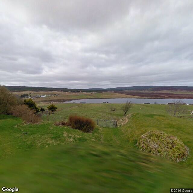
Our croft is a typical long, narrow strip of land. Crofts were traditionally carved up in such a way that everybody got a share of the different bits of land- a bit of shoreline, a bit of lower good ground, and a bit of rough hill ground. In our case, the croft is 27m wide and nearly 500m in length! If nothing else it ensures plenty of work for fencing contractors.
Our strip has two public roads running through it- at the bottom, a relatively busy trunk road, and about half way up a quiet single track township road. Our current house sits on one side of this road, but on the opposite side was just a field. Some of our neighbours had built houses or sheds on their equivalent patch of land, and some have also built at the lower end of their croft, with accesses onto the trunk road.
We therefore had two options for the site. The lower site was fairly flat and in some ways may have been easier to develop, but the proximity to the busier road was a downside, as was the view, being less expansive (although still a nice enough view, over open agricultural and hill land). The upper site had some challenges with steep gradients, but a much better sea view, a quieter location, and was a handy 30s walk from our own house. We decided to put our effort into the upper site, with the knowledge that if our planning application failed we might have a second bite at the cherry on the lower site.
A bit of rough surveying followed- it's handy when your Dad is a civil engineer- and this showed that there was a good spot to sit the house that should be more or less on the building line (i.e. in approximate line with other houses on that side of the road), whilst not blocking any neighbours' views, and having the best possible view out to Loch Snizort and the hills of Harris in the distance.
Originally, there was a very rough a steep grassy track into the field. I knew that this would never satisfy the council as a vehicular access due to the poor visibility. It ran parallel to an earthen bank which we had been told concealed our own house's septic tank. The land fell away at an average 1:7 gradient over the first 50m or so, steeper in some patches.
The positions of water stopcocks in the public road suggested that the water main lay on the upper side of the road, so we would need a road crossing to get the connection across. Similarly, low voltage power lines ran along the upper side of the road. Our neighbours had recently built a house on the lower side so we did hope that there might be space in their duct to avoid the need for our own road crossing, but this turned out not to be the case.
I had a site visit from Sykes holiday cottages, who were very enthusiastic about my proposed build. They encouraged me to keep it small, and aim for the couples market rather than families, or big groups of hillwalkers etc. This confirmed what I had been assuming up to this point.
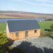
It was time to roll up my sleeves, download a copy of Sketchup, and start throwing around design idea. More about that in part 3.
0 Comments
Recommended Comments
There are no comments to display.
Create an account or sign in to comment
You need to be a member in order to leave a comment
Create an account
Sign up for a new account in our community. It's easy!
Register a new accountSign in
Already have an account? Sign in here.
Sign In Now