MariaD
-
Posts
49 -
Joined
-
Last visited
MariaD's Achievements
Member (3/5)
3
Reputation
-
Partition walls: what is the best way to build them
MariaD replied to MariaD's topic in General Construction Issues
I'm looking at different aspects (priorities), but they're ranked. As stated, cost is placed last. We don't have a lot of skills, mostly just carpentry, but we want to learn and prefer to do as much of the job ourselves as possible. -
Partition walls: what is the best way to build them
MariaD replied to MariaD's topic in General Construction Issues
yes , the plan is to use hollowcore slabs -
Looking for advice on internal partition walls as I'm feeling a bit lost I’m exploring internal partition wall options and I’m a bit overwhelmed. I’m considering things like: Fermacell Gyproc Habito Lightweight aggregate concrete blocks (e.g. Thermal Liteblock) Solid gypsum blocks AAC blocks AAC floor-to-ceiling wall panels Standard concrete blocks Magnesium Oxide panels Cement boards Double Plasterboard: given the cost of boards like Fermacell, you could install 2 standard plasterboards If I go with board-based systems like Fermacell, should I use metal studs or timber studs? I plan to do the installation myself, with help from friends. What I’m looking for (in order of importance): Durability – ideally walls I’ll never need to worry about, something well-built that I can leave for my children. Noise absorption Impact resistance – sturdy walls that can handle everyday wear and even support cabinets if needed. Ease and speed of installation Low complexity – which option minimises the number of steps and processes from start to finished wall? Humidity resistance – ideally walls I don’t need to worry about, even in wet rooms. Most durable finish – some systems are better suited to certain finishes or renders. Which one gives the most robust, long-lasting finish? Wall thickness: some system may allow me to build partition walls 8cm thick Weight – I’ll have concrete floors, but lighter is still better. Cost – saving money is good, but value matters more. If a system is twice as expensive in materials but more durable and twice as fast to install, I’d still go with that. Any advice on the best overall system for my priorities would be really appreciated.
-
Hi all, looking for advice on water connection during planning stage in Ireland. We’re currently preparing our planning application for a detached house on a site zoned residential. While the build is underway, we’d like to live in a mobile home on-site. The site is close to an existing estate and there’s a water main running around it. When applying for the water connection, should I notify Irish Water about the mobile home as well? Would that require a separate temporary connection, or can we use the permanent connection intended for the house to connect to the mobile home? Any insights from those who’ve done similar would be really appreciated.
-
@Nickfromwales Thanks again for your advice. Just to confirm, is the correct installation order for the upper floor: plywood boards over the OSB, followed by 3mm Acoustalay, then SPC tiles on top? Also, would you recommend going for 9mm plywood instead of 6mm for peace of mind, or would that be unnecessary?
-
Thank you Nickfromwales :-).
-
something like this: Beige Slate - Wood Innovations
-
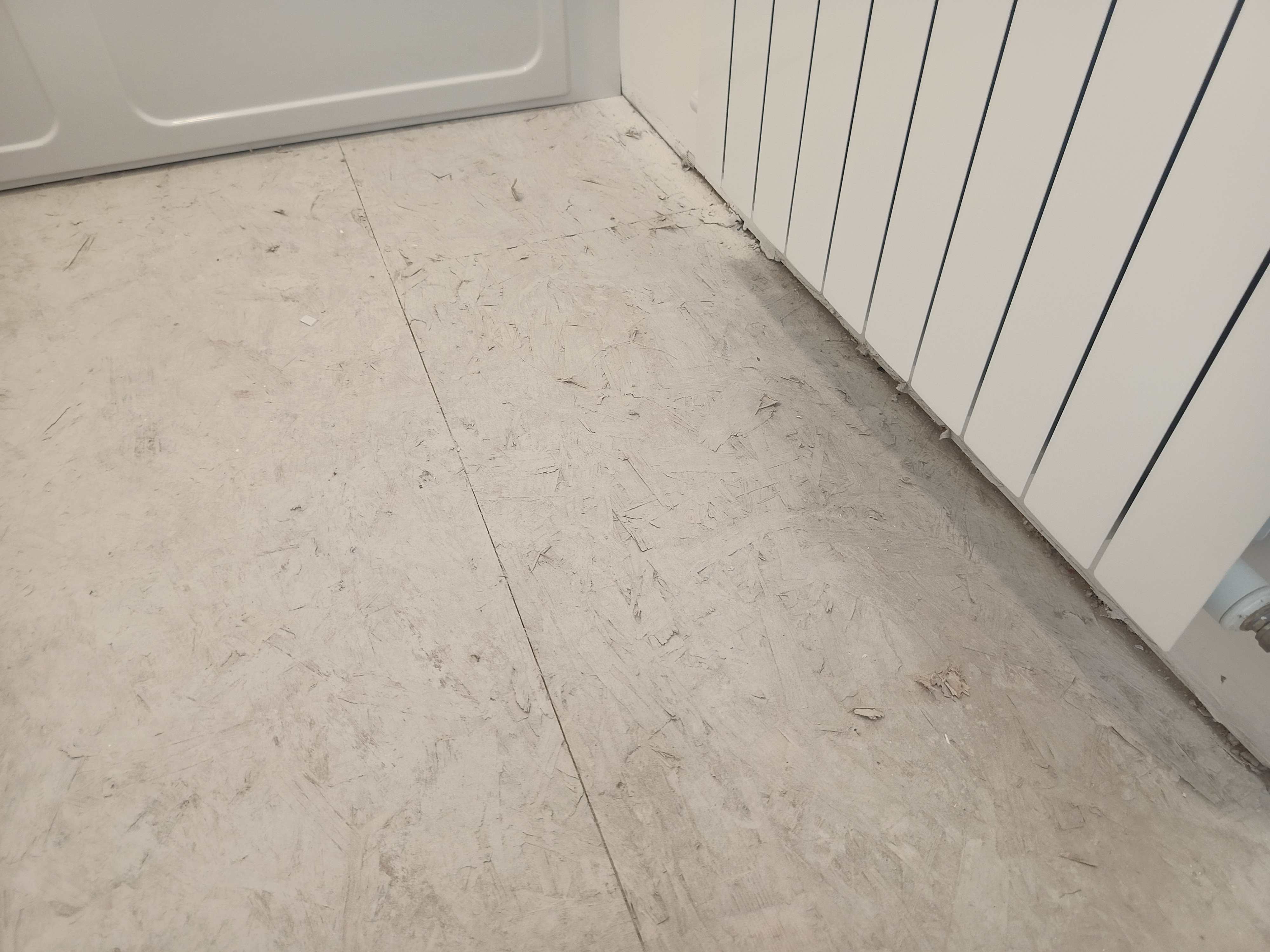
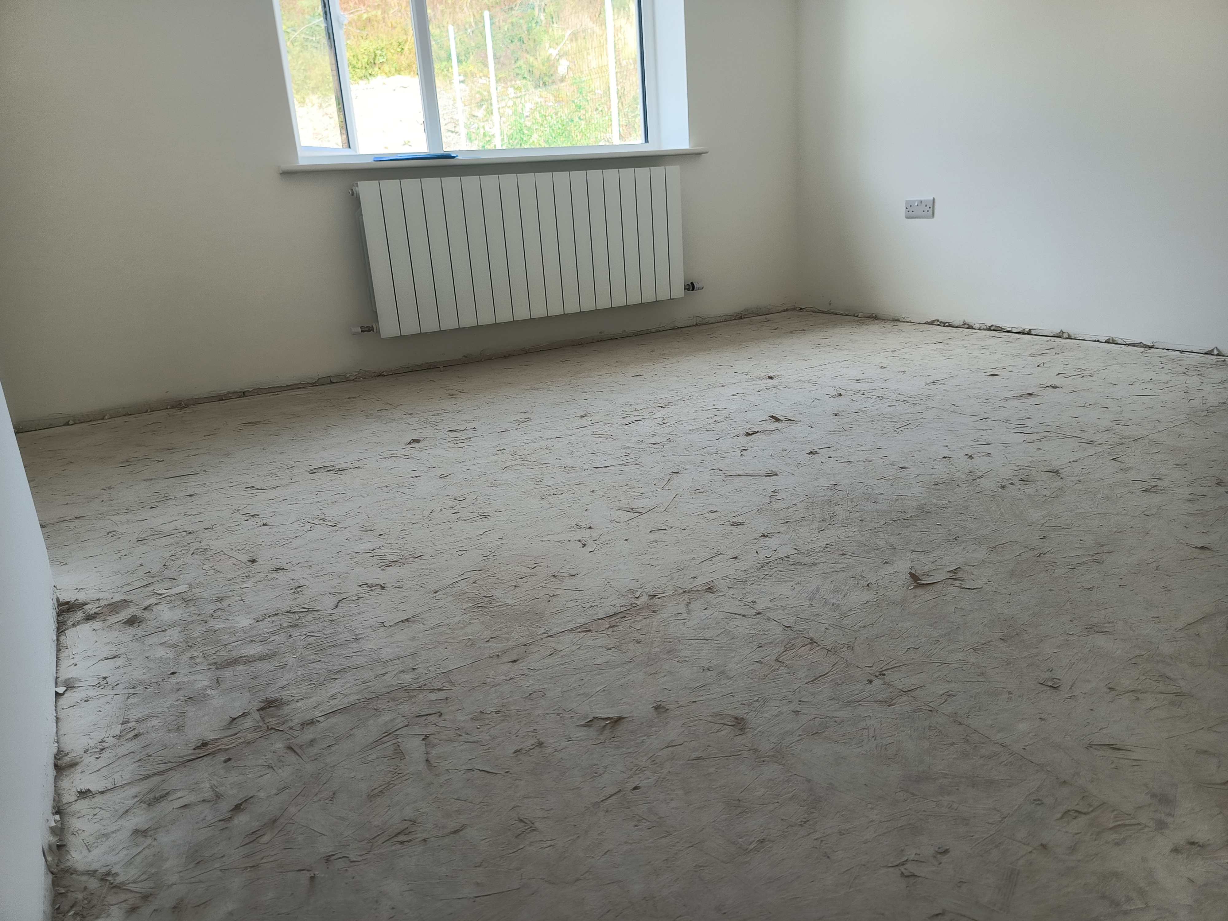
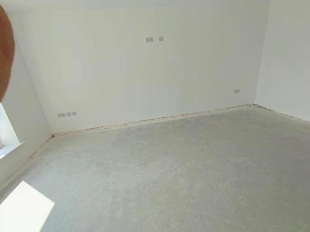
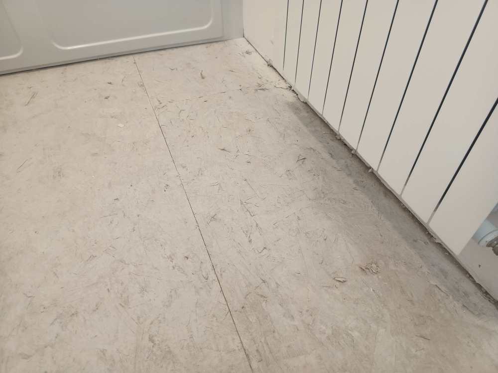
Hi all, I’m planning to install SPC flooring tiles in my new build home and the SPC tiles I’d like to use are with built-in underlay. I’m wondering if I still need to lay down a separate roll of underlay underneath or similar, especially for moisture control and/or sound insulation both for concrete floor, which is downstairs and OBS panels, which are upstairs. I also would like to know if, to properly install SPC tiles on OBS panels, should this be smooth out? I will attach pictures of both floors. Thanks in advance for any tips

-
Can I Build a Fence or Plant Trees Over Utility Pipes?
MariaD replied to MariaD's topic in Building Regulations
Thanks for suggesting to create a bridge under the wall. I have already contacted the Water people and their map is not accurate. I was lucky that yesterday a tap bursted so all the water flooded out, people came to fix it and I could see the water pipe where it is located along with gas, electricity and broadband. -
Can I Build a Fence or Plant Trees Over Utility Pipes?
MariaD replied to MariaD's topic in Building Regulations
Thank you, Conor for the reply. We only have a wayleave for the water main pipe. I know there also a gas pipe, electricity and broadband pipes positioned together in this small area of the site. The conditions on the wayleave say that the council is free to repair and maintain the pipe and that it is granted the free passing of the water. So, couldn't I place over it a wall boundary? -
Can I Build a Fence or Plant Trees Over Utility Pipes?
MariaD posted a topic in Building Regulations
Hi all, I’ve bought a site where we plan to build a house, and I’m looking for some advice. There are utility pipes (water, gas, electricity, and broadband) that run just beneath the site boundary in one area of the site. We’re hoping to install a wall or fence along the boundary, and we’d also love to plant a few trees nearby to soften the landscaping. Before we move ahead, I wanted to ask if it's possible (or allowed) to build a wall or fence on top of or near these kinds of utility pipes and if there are restrictions on planting trees near them. Any advice, especially from people who’ve dealt with something similar, would be really appreciated. Thanks in advance! -
Hi all, I’m looking for trusted companies that offer slit trenching services around the Waterford area (Ireland). If you’ve had a positive experience with any providers or know of reputable ones, please send me a pm. Thank you in advance.
-
Hi all, I’m looking for trusted companies that offer slit trenching services around the Waterford area. If you’ve had a positive experience with any providers or know of reputable ones, please send me a pm. Thank you in advance.
-
ICF cladding : fiber cement vs Aluminium
MariaD replied to MariaD's topic in Insulated Concrete Formwork (ICF)
Thanks for your reply. I have a few questions regarding your response, and forgive my ignorance in advance if I'm going to ask something silly: What would be the advantage of rendered blockwork compared to applying the render directly on the ICF? Doesn't render normally last 30 years or less? Is brickwork really cheaper than fiber cement or aluminum cladding? My understanding is that fiber cement may cost about £50 per sqm while aluminum is £70 per sqm, including installation. How much do you expect brickwork to cost? How would you anchor the brick wall? Using something like in the video below? If so, wouldn't this method create a lot of thermal bridges and allow water to contact the concrete (which would defeat the purpose of the membrane)? Are there any special precautions you need to take when building brick walls 6-9m high? Don't brick walls require some maintenance, while (from my understanding) fiber cement and aluminum require none? -
Hi, I'm researching the best cladding for an ICF structure covered with a membrane. My priorities are in order: 1. Low maintenance 2. Durability (at least 50 years) 3. Ease of installation 4. Pricing 5. Aesthetic From what I've read, fiber cement and aluminum cladding seem to be the best choices. I'm leaning towards fiber cement because it's more affordable and I might prefer its aesthetic (based on what I've seen). Additionally, there shouldn't be any risk of discoloration. I understand that the main downside of fiber cement compared to aluminum is its weight. My questions are: 1. Would the difference in weight significantly impact the stability of the house, require a stronger foundation, or be more prone to loosening from the facade in the future? 2. Have you quoted both options, and what was the actual difference in pricing when labor was included? 3. Is aluminum cladding simpler to install? 4. Would the installation of both be compatible with having wrapped the ICF walls with a membrane? 4. Do you have any real experience with either of these materials that you could share? 5. If you seriously considered them when building your house but opted for something different, what were the reasons? Not sure if it may affect your response, but the house I designed is a 3-storey (the last storey is the attic made livable) with a mono pitch roof. The perimeter is 6.8m x 14.8m, with walls 5.7m high at the back and 9.6m at the front.